A clover trail consists of four routes, all of which start from a centrally located Clover Trail. In Sæby, it stands at Sæby Harbor by the bridge over Sæby Å. The clover paths can also be found with the mobile via Endomondo.
BLUE ROUTE - 5 KM
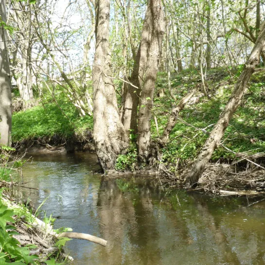
The route follows the Strandpromenaden to the north, turns up past Nellemanns Have's lush diversity and Jernkilden's cool shade, down through the hilly Sæbygård Skov to the culture house "Skovlyst". Just follow the meanders of the river through the forest back to the city, along the city's old, narrow gardens to the mouth of the river into the sea. This is a trip that the kids will love too.
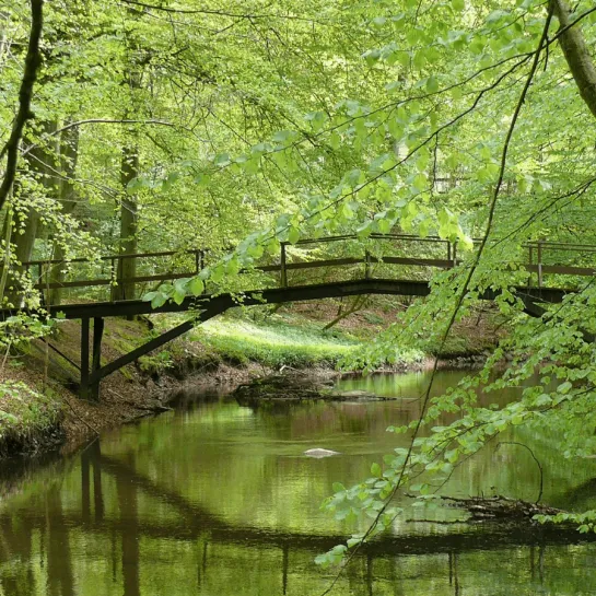
Shall we take a walk through the rat holes?
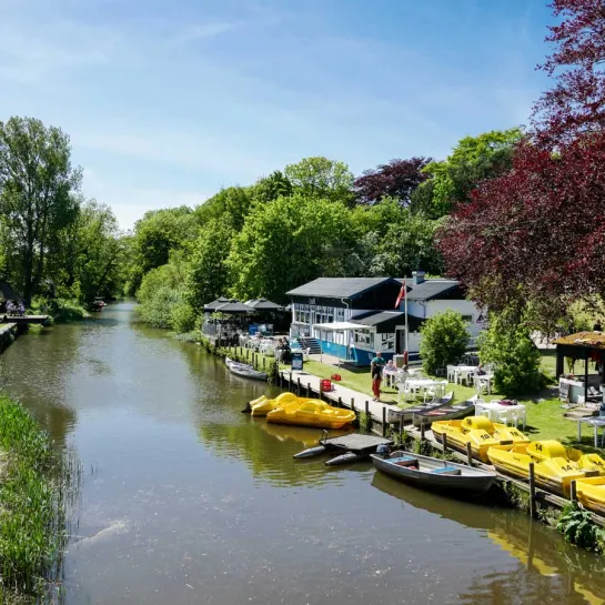
Sæby Å, the city's lifeblood and green "umbilical cord", connects the forest with the sea. Since the Viking Age, the estuary has formed a natural and important harbor in the northern Kattegat and the river has supplied water and power to a tamping mill, tannery, dyeing mill and Sæby Watermill. A "secret" place on the trip is the road bridge with the spherical openings and built-in echo - popularly called the "rat holes". An almost magical transition from forest to city.
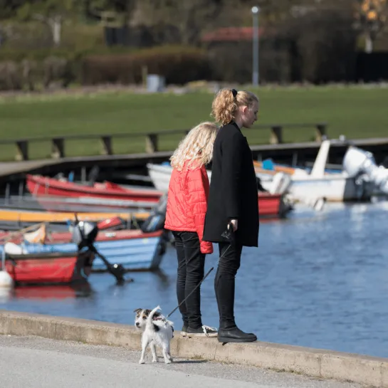
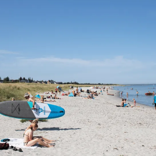
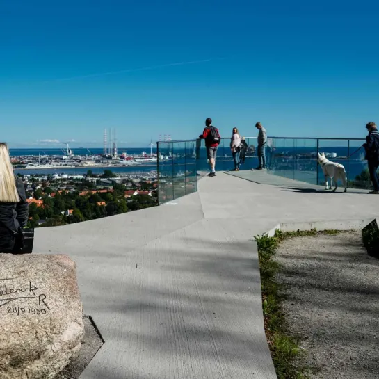
• Sæby Strandpromenade (2.4 km long)
• Nellemanns Have. Paradise apple garden, forest and Rhododendron garden etc.
• Sæby Jernkilde, designed by Plesner, from 1887, when the town became a spa town with health cures for bla. anemia.
• "Skovlyst", forest pavilion, 1881. Now SæbyScenen.
• Sæby Watermill approx. 1800, roots in the 17th century.